From the mouth of a tunnel, a laser can only see as far as the first thing in its way. To map more of the Blue Ridge Tunnel, a former railway passage through Afton Mountain in Virginia, University of Virginia professor Nicola Bezzo and graduate students Esen Yel and Tony Lin sent in a Clearpath Jackal ground robot. In a university report published January 5, 2018, Bezzo estimated that it took about half an hour to map half a mile. The report doesn’t give the exact run date or say that the entire tunnel was surveyed.
Stationary scans from the entrance left gaps behind rocks and other obstructions, so the team remotely drove Jackal through the tunnel with two laser scanners: a vertical one to capture the tunnel’s cross-section and a horizontal one to scan along its route. The team combined the scans with readings from an inertial sensor and wheel encoders to build a map and estimate Jackal’s position as it moved.
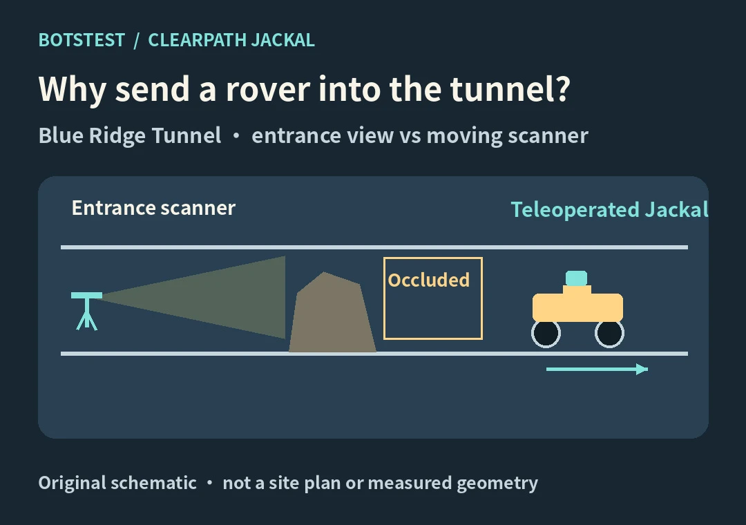
BotsTest conceptual drawing, not a photograph of the Blue Ridge Tunnel or the team’s measured map.
A new viewpoint, not just a longer-range laser
The team needed a detailed 3D map so the tunnel could be compared with historical records. The previous approach used a long-range scanner at the entrance. More range did not solve the visibility problem: if a rock blocked the beam from that position, the surface behind it still went unmeasured. Moving the scanner changed what it could see, although the reports do not say how much of the missing coverage was recovered.
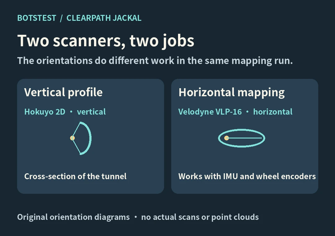
BotsTest illustration of the sensor roles described by Clearpath. The rays are illustrative, not measured scan geometry.
Clearpath identifies the vertical unit as a Hokuyo 2D LiDAR and the horizontal one as a Velodyne VLP-16. As one person drove the robot remotely, another watched the incoming data on a laptop. The ROS-based mapping software used the sensor readings to build a map and estimate where the rover was in it. That is not the same thing as the rover choosing its own route.
UVA’s half-mile estimate gives this field report a useful scale. It does not establish an accuracy gain, a speed advantage over another method, or a complete survey. BotsTest did not repeat the survey.
University of Virginia field report · Clearpath case, sensor mounting and teleoperation · Jackal platform
Turn the shortlist into a decision
Write down the task, operating conditions, success criteria and total ownership costs. Ask shortlisted suppliers to demonstrate your representative task, including failure recovery. Use the same acceptance test for each candidate.
Explore the full robotics directory →