 代码仓库

软件工具 / 开源
elevation mapping · ANYbotics
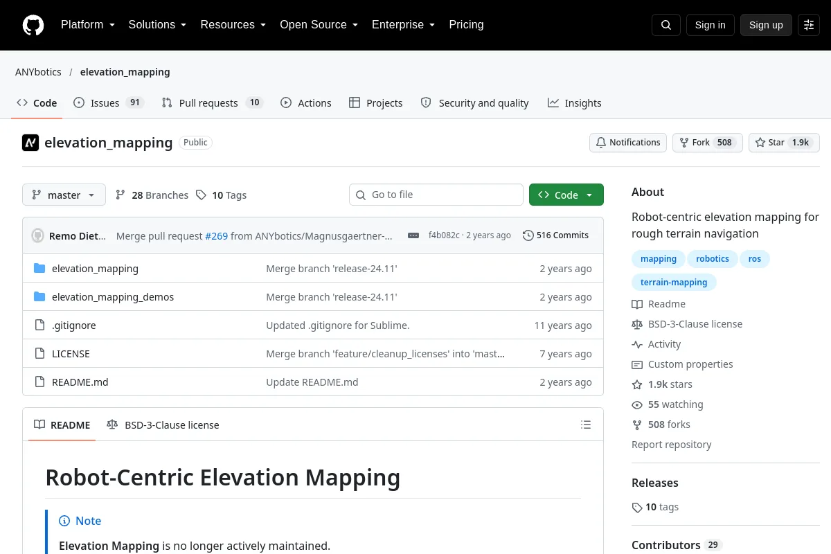
用于崎岖地形导航的以机器人为中心的高程测绘。
概述
Robot-centric elevation mapping for rough-terrain navigation.<br><br>Publisher summary:“Robot-centric elevation mapping for rough terrain navigation”<br><br>Use its repository to inspect the implementation, documentation and supported workflows. This directory record identifies the maintainer, code license and related resources; it does not claim that the project has been installed or tested on your robot.
项目信息
- 维护者
- ANYbotics
- 主要语言
- C++
- 存储库代码许可证
- BSD-3-Clause
- 模型重量许可证
- 未记录
- 数据集许可
- 未记录
- 硬件设计许可证
- 未记录
- 维护
- 未存档在最后记录的元数据中
- 最后观察到的存储库推送
- 2024-11-04
代码许可不会自动涵盖模型权重、数据集或硬件设计。未记录的许可证详细信息需要与发布者确认。
文档部分
- Robot-Centric Elevation Mapping
- 概述
- Citing
- Installation
- Dependencies
- Building
浏览该资源的类别
探索相关集合
浏览 软件工具 →更多内容见 软件工具
代码仓库