 Repository

Software / Open source
elevation mapping · ANYbotics
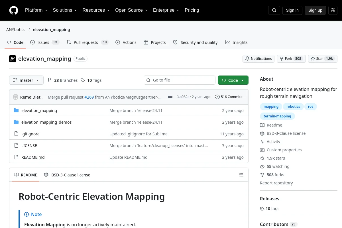
Robot-centric elevation mapping for rough-terrain navigation.
Overview
Robot-centric elevation mapping for rough-terrain navigation.
Publisher summary: “Robot-centric elevation mapping for rough terrain navigation”
Use its repository to inspect the implementation, documentation and supported workflows. This directory record identifies the maintainer, code license and related resources; it does not claim that the project has been installed or tested on your robot.
Project information
- Maintainer
- ANYbotics
- Primary language
- C++
- Repository code license
- BSD-3-Clause
- Model-weight license
- Not recorded
- Dataset license
- Not recorded
- Hardware design license
- Not recorded
- Maintenance
- Not archived in the last recorded metadata
- Last observed repository push
- 2024-11-04
Code licenses do not automatically cover model weights, datasets or hardware designs. Unrecorded license details require confirmation with the publisher.
Documentation sections
- Robot-Centric Elevation Mapping
- Overview
- Citing
- Installation
- Dependencies
- Building
Browse this resource’s categories
Explore related collections
Browse Software →More in Software
Repository