 Repository
 Open source
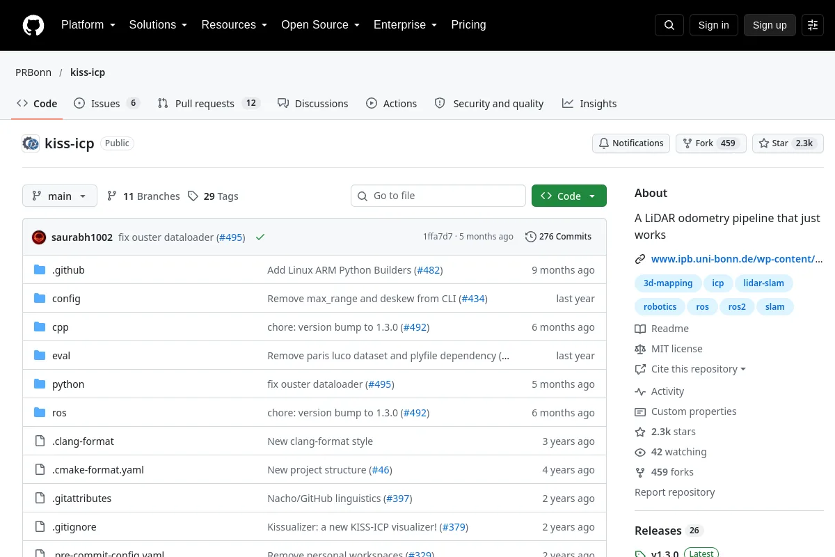
KISS-ICP
A LiDAR odometry pipeline built around point-cloud registration.
Navigation & SLAM
Research & learning / Research
Photogrammetry Guide. Photogrammetry is widely used for Aerial surveying, Agriculture, Architecture, 3D Games, Robotics, Archaeology, Construction, Emergency management, and Medical.
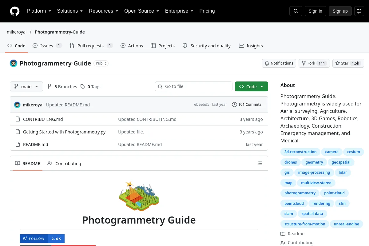
Photogrammetry Guide. Photogrammetry is widely used for Aerial surveying, Agriculture, Architecture, 3D Games, Robotics, Archaeology, Construction, Emergency management, and Medical.
Publisher purpose: Photogrammetry Guide. Photogrammetry is widely used for Aerial surveying, Agriculture, Architecture, 3D Games, Robotics, Archaeology, Construction, Emergency management, and Medical.
Use the source to explore robotics concepts, examples and references. Source material may be historical; check the applicable version and context.
Code licenses do not automatically cover model weights, datasets or hardware designs. Unrecorded license details require confirmation with the publisher.
Repository
Open source
A LiDAR odometry pipeline built around point-cloud registration.
Navigation & SLAM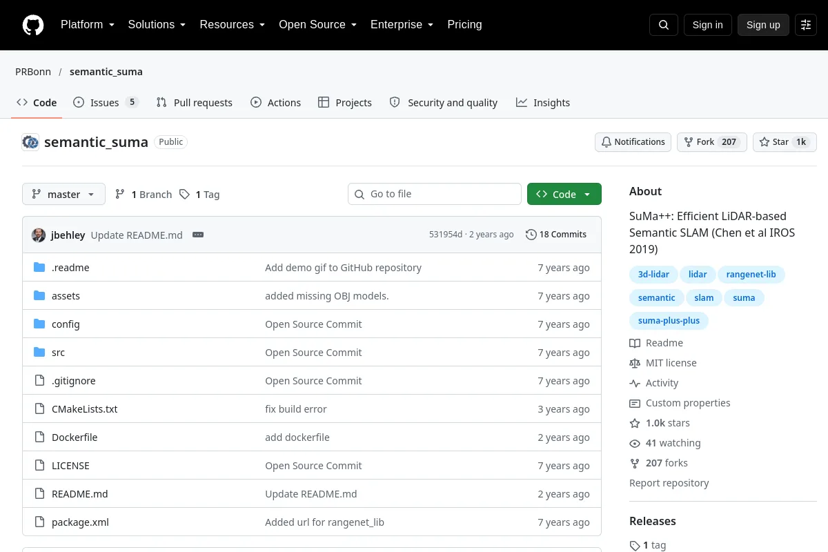 Repository
 Open source
SuMa++: Efficient LiDAR-based Semantic SLAM (Chen et al IROS 2019)
Navigation & SLAM Repository
 Repository
 Open source
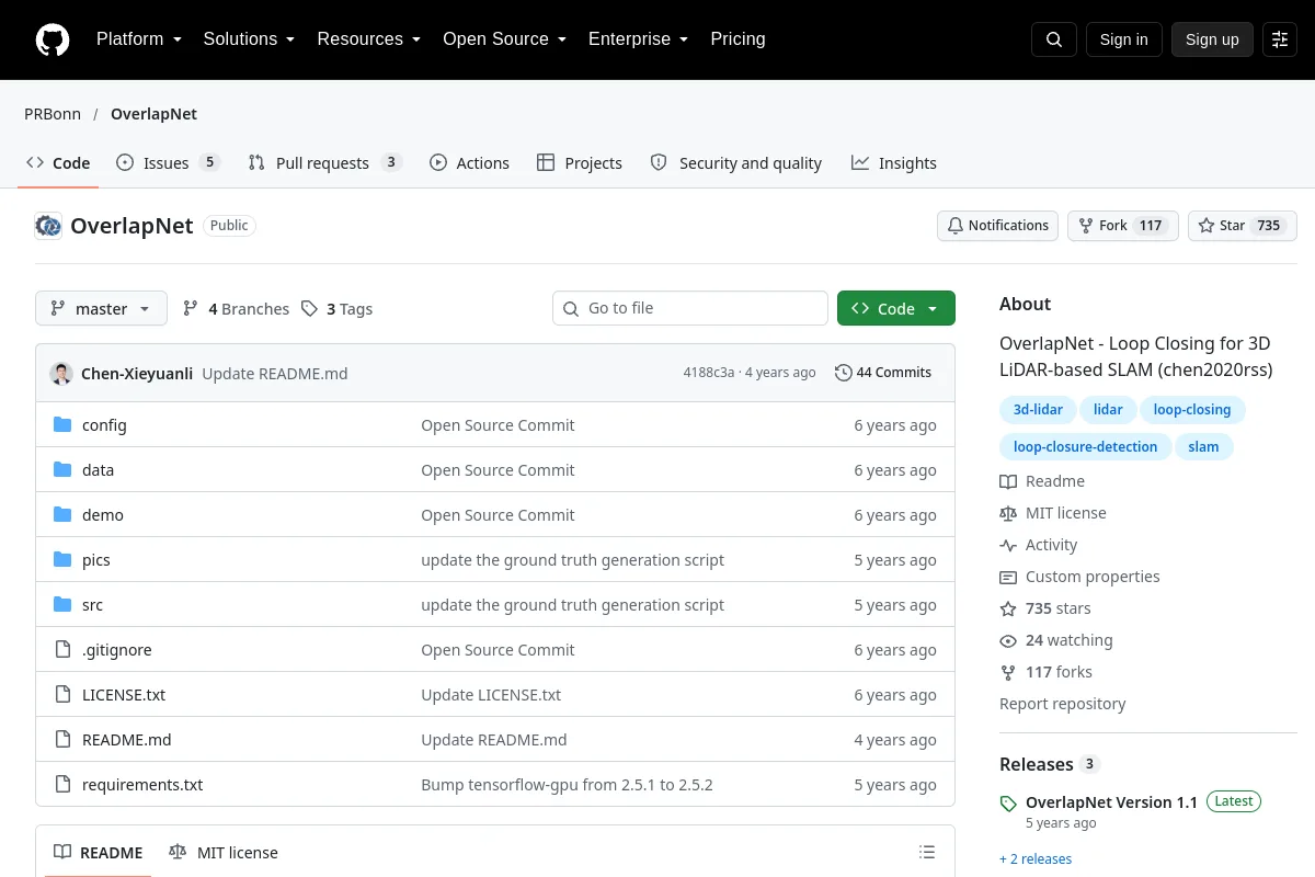
OverlapNet - Loop Closing for 3D LiDAR-based SLAM (chen2020rss)
Navigation & SLAM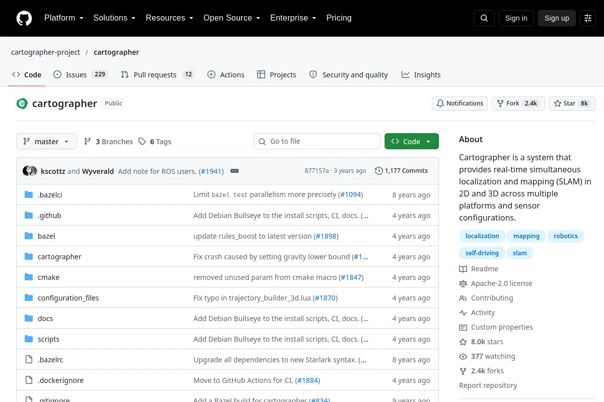 Repository
 Open source
A multi-platform 2D and 3D SLAM system.
Navigation & SLAM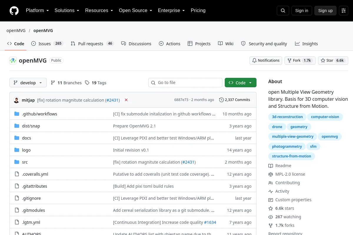 Repository
 Open source
Multiple-view geometry and structure-from-motion library.
Perception & geometry